A 12 day traverse of the Tasmanian southern ranges over Precipitous Bluff to New River Lagoon and then the south coast track through to Melaleuca Airstrip. Not enough water then too much water.
Day 1, Friday 29th Jan to Moonlight Creek
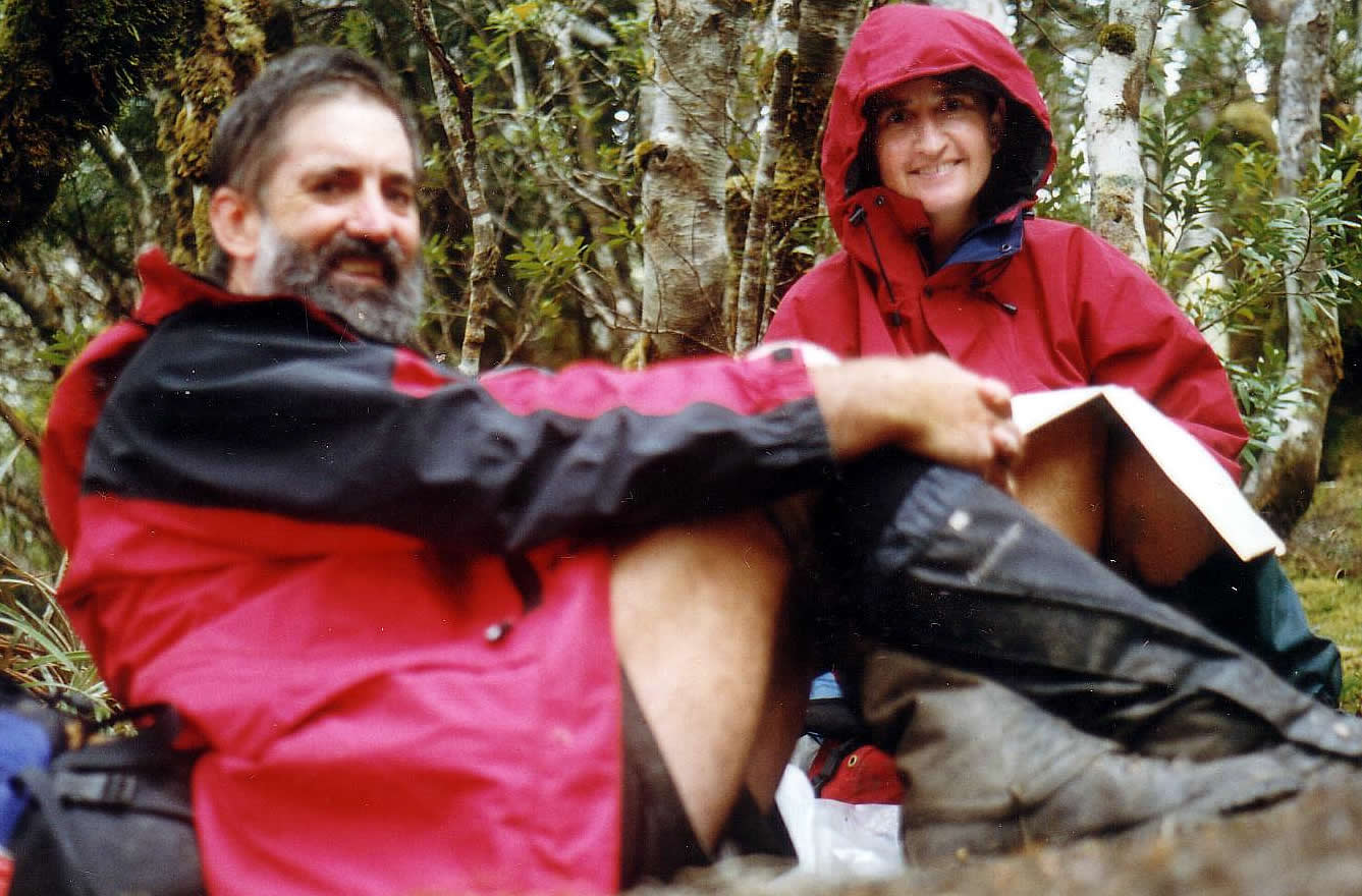
We finally started walking from near Lune River at 1:30 after an 8:30 start from Hobart. The bus had to cater for tourists as well as the walkers, so waiting for them to look around at various stops along the way was the order of the day. Weigh in of the packs at the bus station had us starting at 30 and 20 kg, but neither of us were prepared, mentally or physically, for the 700m climb to start the walk.

30 kg and 700m to climb
Fortunately, this climb is a gentle sidle well cut into the hillside heading up through old forest, then heathland. Even the boggy sections were quite dry so it’s been a while since the last heavy rains. The sign-in book at the start showed most people just going in for 1-2 days to visit the caves around Mystery Creek, although Exit cave has been closed to allow for regeneration. We seem to be the only party heading on through to Melaleuca, although two groups are heading for PB and returning to Cockle Creek. It looks like it could be a lonely walk. Moonlight Creek campsite was a surprise with the creek hidden in the heath and only visible by walking into it. We arrive late in the afternoon absolutely knackered and cramping badly in the leg muscles.

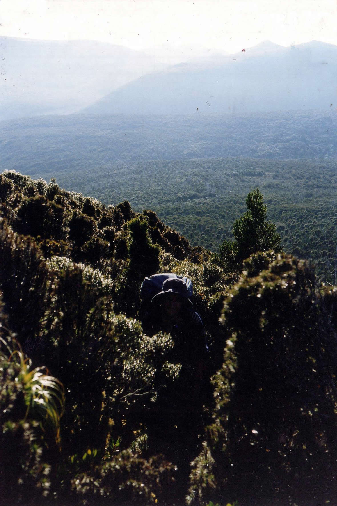
Ali looking down on Pigsty Ponds
Day 2, Saturday 30th Jan to Ooze Lake
Climbing again, with another 300 m up to the tops then over four hills before heading down to Pigsty Ponds for lunch by the outlet creek. Weather worsening with strong cold wind in our faces with frequent drizzle showers. After lunch, another stiff climb up to Maxwells Ridge before the long and steep drop to King Billy saddle. Sidling through scoparia to Ooze Lake proved to be very painful on our knees so the overpants are coming out even in warm weather. Digby’s pack is now starting to cause problems in scrub with the tent sitting up on top making the pack top heavy and high enough to catch every tree branch. Even so, walking times are pretty much in agreement with Chapman’s guide, so 6 1/2 hours was quite enough for today before collapsing into camp around 3:30. Settled down and reading by 4:30.
Day 3, Sunday 31st Jan to Leaning Titree saddle
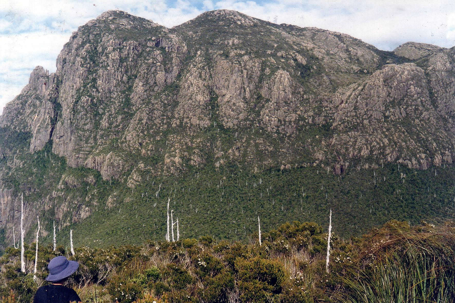
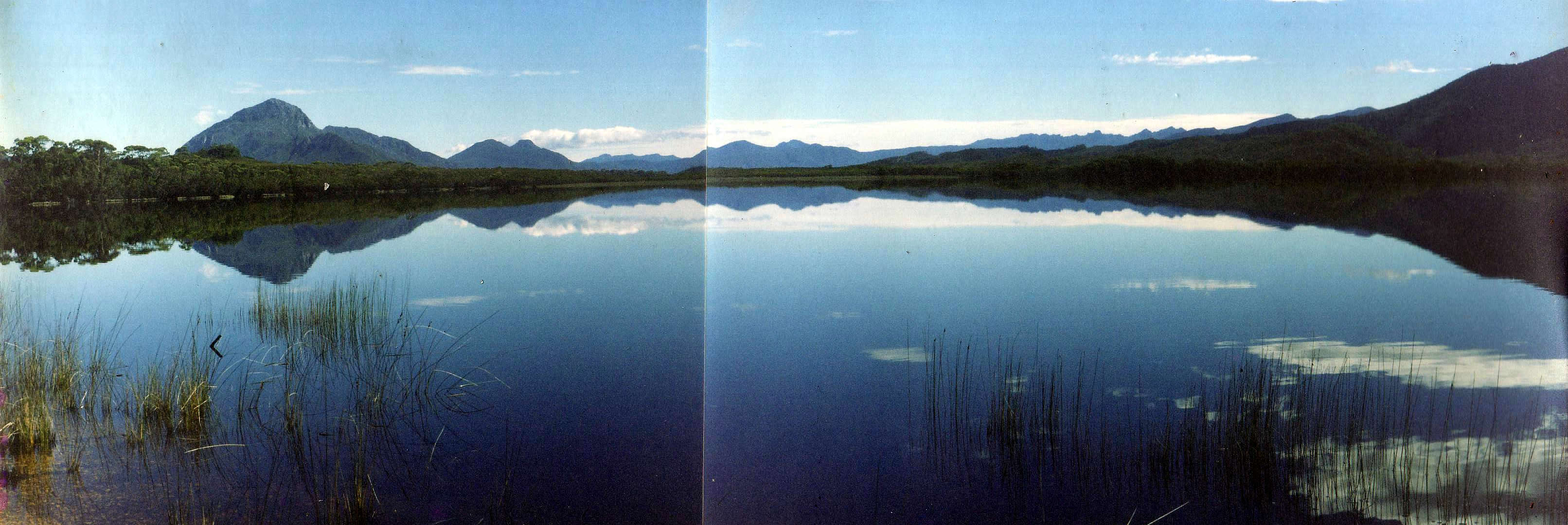
We are climbing yet again after managing to go in circles in the scoparia around Ooze Lake near the campsite. Two hours heading up and around Lake Mountain to near the summit of Pindar Peak. The columnar sandstone produces spectacular cliffs near the tops as the general landform steepens as you go higher.

Pindar Peak cliffs
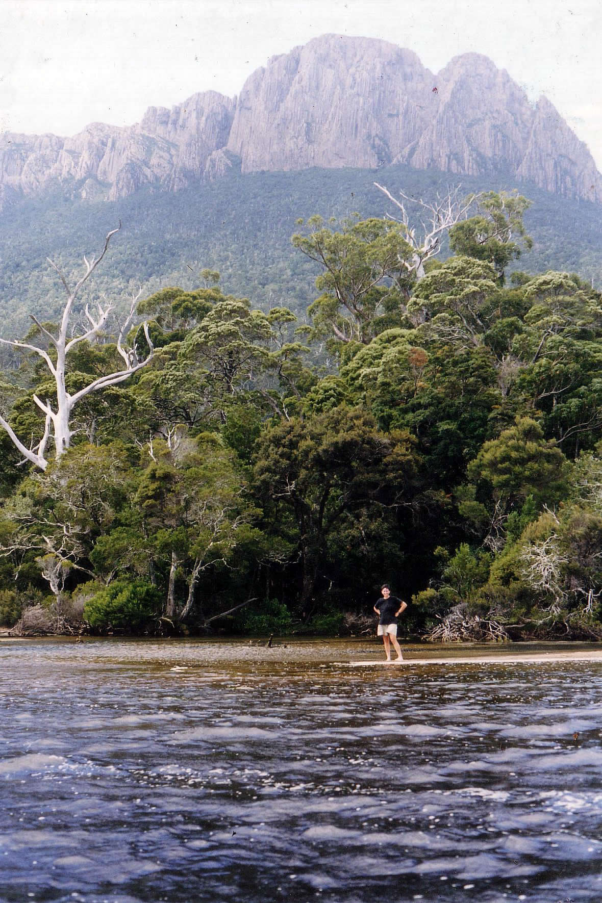
We dropped off the summit ridge about 150m or so before climbing again to the northern ridge and spectacular views out to sea and the islands, Prion beach, New River Lagoon

Prion Beach and New River Lagoon
as well as off to the north with Federation Peak and the Eastern Arthurs standing clear. Sunhats and lipsalve on today as the showers have cleared and skies are mostly clear. Back into overpants to protect legs from the thick scrub coming down off Pindar before a decent track finally appeared. The high pack is still a problem when the scrub closes in.
Day 4, Monday 1st Feb to Tramp camp
We found ourselves again pushing through scoparia, titree and beech thickets for much of the day with the occasional clear interlude on the ridge crests although we did manage to solve the high pack problem by shifting the tent down off the top of the pack.
Scoparia is head high

Tent moved down and out, making it seem heavier but much better for scrub.
After lunch on the Wylie plateau, we decided to go on in the hope of water at Tramp camp in the saddle of Kameruka moraine. A vague track had formed through this section since the guide was last published, so the scrub swimming was much reduced. The track disappeared for 15 minutes while crossing the boggy bottom and that was enough of a reminder to be very grateful for its existence. Some kind walker had a blue carry mat on the outside of his pack being shredded by the scrub, so we were often able to spot the track by the blue breadcrumbs.
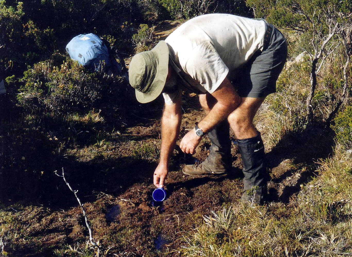
Digging for water at Tramp camp
The water pools at Tramp camp proved to be dry, but as we headed on in search of water we found a soak that had been dug out by someone else earlier. This yielded a couple of liters so we decided to go with it and set up camp in the hope it would replenish overnight.

Tramp camp
Day 5, Tuesday 2nd Feb to Plateau Camp
PB and the climb up the central valley looks impossible
Our soak stayed resolutely dry all night, we had just enough to cope but were very pleased to find some pools 2 hours after starting out. Our track for the morning weaved around , between and over 1-2 m high boulders while embedded in 2m titree scrub. This did ease off after a while, staying scrubby to Low camp and a good water supply where we were able to refresh before starting the climb up the main valley on Precipitous Bluff.

At least the water was flowing and cool
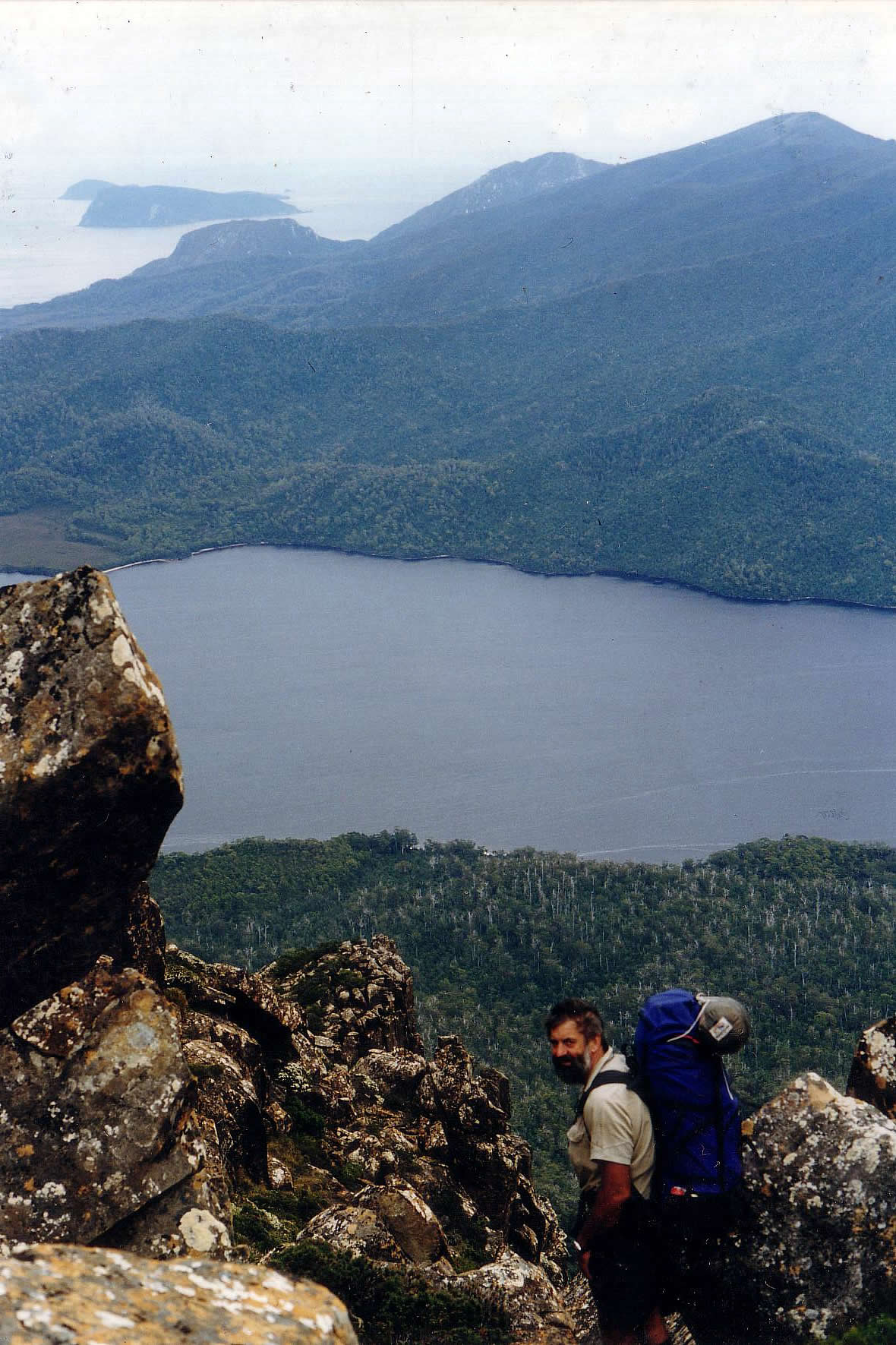
Steep but not terrifying for about an hour with a few difficult scrambles and 1 pack pass before the angle lessened and another hour of climbing led to a sheltered campsite on rock slabs at the head of a gully. The weather remained hot and still so we chose to camp in a much more exposed spot high up on one side of the gully. The March flies seem to be revelling in the weather and driving us mad with incessant buzzing. A head net would be a great thing to have here. After lunch, we managed a gentle 30 minute amble to the PB summit and lazed away the afternoon in the sun.

Near PB summit
From here we were able to look back over most of the walk so far completed. The pools of water near the summit camp gave us a fright when we noticed small white thingys apparently swimming around in the bottom of a cup. A thorough check revealed the peeling line of dried soup flakes coming off an edge. The dish pig needs to pay more attention.

Both on top
Day 6, Wednesday 3rd Feb to Damper Creek.
We are unprepared for this, another hot dry day with very limited water along the route leaving us dry and suffering by the time we reached the bottom.
The track goes straight down in front of Digby
It took about 6 hours to work our way down through the cliff lines then along the descent ridge to our first cold and clean water for days. The relief at feeling a wave of cold and wet air emerging from the water source in a cave mouth was wonderful and we were able then to continue to the New River Lagoon shore campsite.

Damper Creek camp
A swim and a wash of hair and clothes put us in a much better frame of mind. The logbook reports one walker had collected 38 pieces of blue carrymat along the route.
Day 7, Thursday 4th Feb to West Prion Beach
A slow start for the day had us away by 9am wading south along the lagoon shore in ankle to knee deep water.

New River Lagoon track
Difficult wading on rocky ground for 11/2 hours to Urquhart creek but then easier walking for another 11/2 hours to the boat crossing.

New River Lagoon

Crossing to West Prion Beach
It took a while for us to complete the double crossing as neither of us is even a competent oarsman (give me a paddle anyday). The hardest part was having to haul the boats well above high tide mark. (We later heard that both boats has been washed out to sea by the flood a few days away.) Eventually we were able to head off west along Prion Beach to camp on a dune near some rocks overlooking clear water that looked promising for a fish dinner.
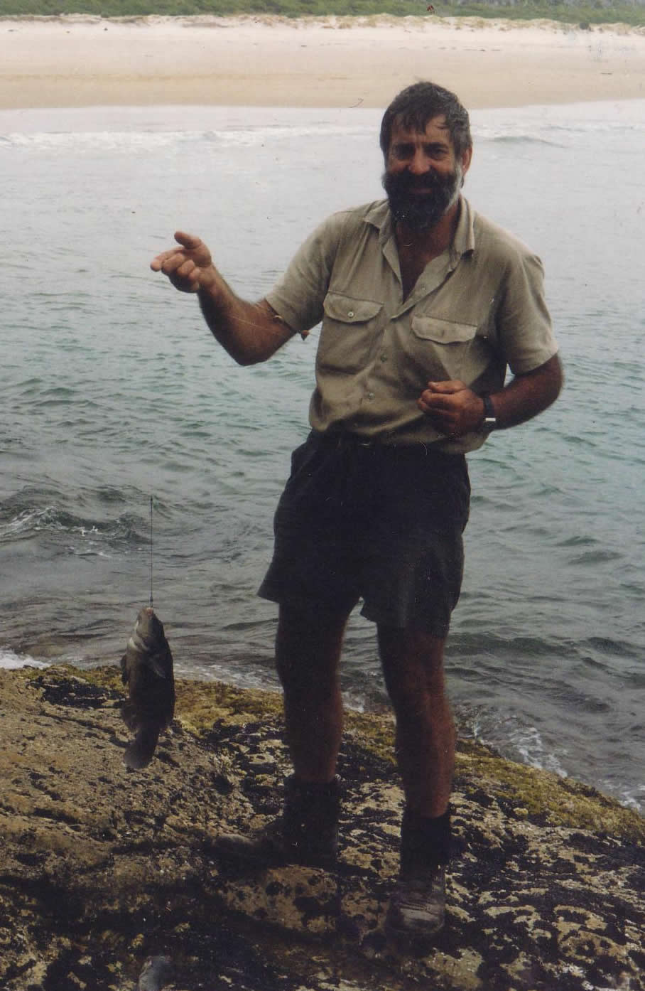
Fish for dinner
A hand line produced two good sized fish for dinner, pretty tasteless but a vast improvement on the continental rice. The weather is quite odd, being warm but with a thick fog blanket, breaking up in the afternoon with a few views back to PB, Pindar and Wylie.

West Prion seems to go forever
Day 8, Friday 5th Feb to Little Deadman’s Bay
An easy day strolling through forest and button grass. The hut site we remember from our honeymoon in 1973 abandoned now and nothing remains but a pile of corrugated iron. A new campsite with toilet has been established at the other end of the beach. Digby spent the afternoon hunting the cliffs and coves for some odd rock carvings he found here on his first visit. There were many carvings on the roof of a cave and on exposed slabs around the cove.
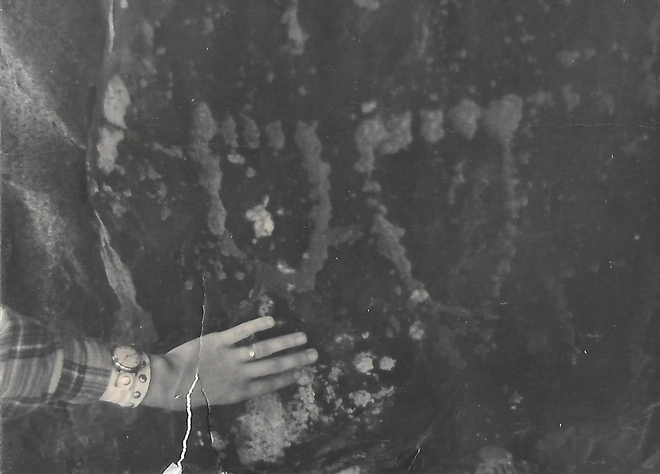
Rock carving seen in 1973
They could still be found but seem to be much reduced after almost 25 years, now disappearing under rocks and eroded by surf. The opinion at Tas Museum back then was that they were of relatively recent origin, possibly done by whalers, and not of any anthropological significance. That may be because there is nothing like them anywhere else in Tassie.
Day 9, Saturday 6th Feb to Louisa River
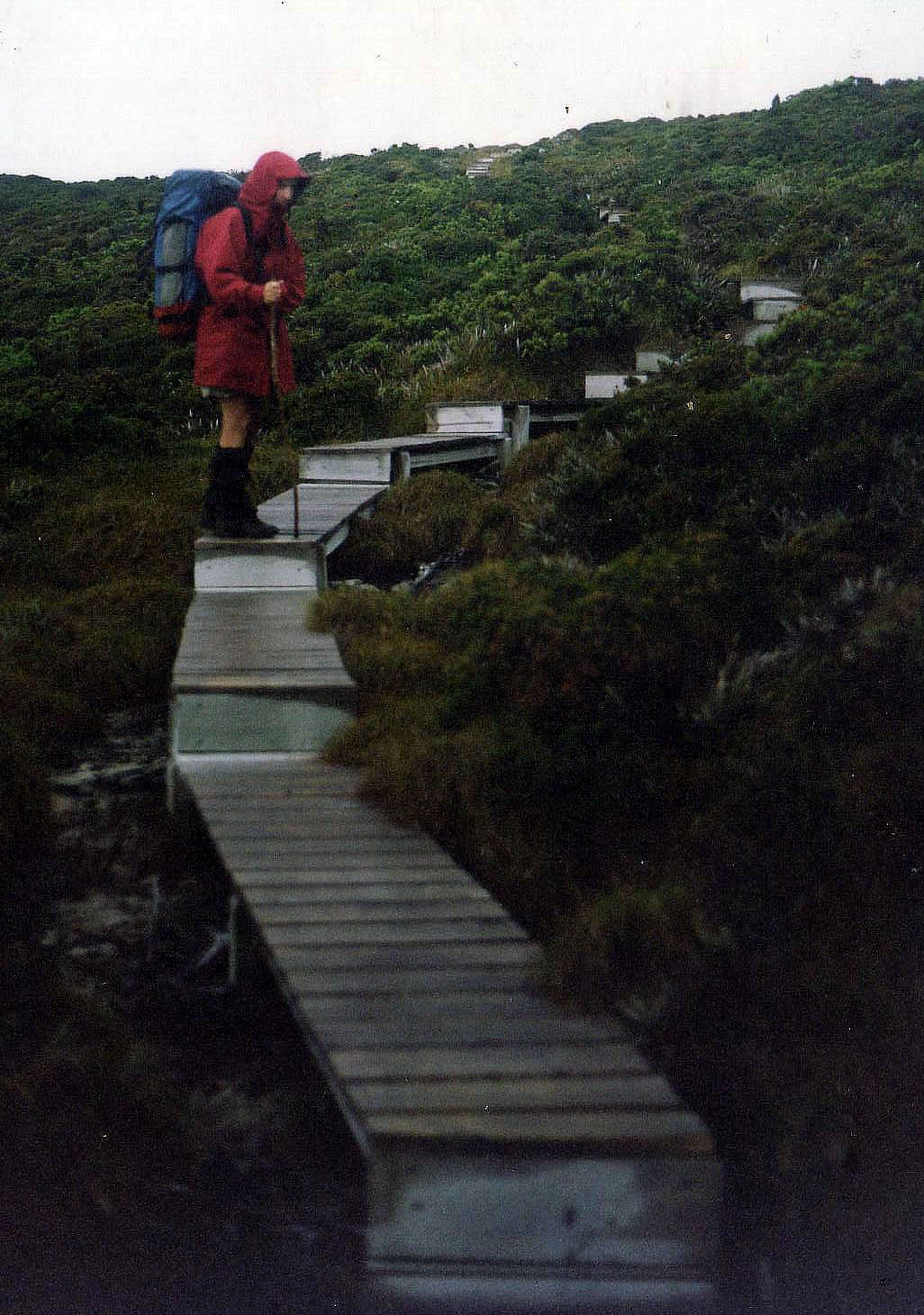
Boardwalks on the Ironbounds
Four hours of steady uphill grind to the top of the Ironbounds Range for lunch. The weather then deteriorated rapidly during the crossing, with sleet and strong wind pushing us around. Much of the crossing has been boardwalked and about 1100 steps installed for the descent, making it much easier than the climb. We fortunately took the advice of a trackworker who suggested we cross the Louisa River before camping as it was likely to rise. It certainly did, and even a rivulet next to the camp gave us a thigh deep crossing in the morning.
Day 10, Sunday 7th Feb to Louisa Creek
After raining all night and then emerging from the tent into a cold wind and sleet we debated for an hour the merits of whether to stay put or head out for Point Eric or even Melaleuca, hoping meanwhile that the rain would lift. After 10 days straight walking, having a rest day in a hut was very attractive, so we eventually packed up and headed out. After several knee deep crossings on invisible bridges we were finally blocked at Louisa creek, where the bridge handrails were even under water. The campsite on the far bank was certainly underwater and with no flat ground on our side above water level to make camp we had a problem. After some scouting around we found a suitable root mound well above the creek bank where we were able to create a terrace big enough for the tent. Both of us cold and shivering, but once in the tent we were able to warm up and recover quickly. At least we still have 4 days food and a deck of cards.
Day 11, Monday 8th Feb to Eric Point
The creek had dropped 2m by morning and the log crossing was visible and intact although the rope handrail had been broken. A quick fix and we were off to discover a group of campers on the other side who had been flooded out and had to evacuate in haste. They were planning to stay put and dry out. We pushed on only to find another branch of Louisa creek still high and dangerous with neck deep turbulent water near where the then invisible bridge should have been. An hour later the water level had only dropped 6 inches and was still too dangerous to cross. Digby scouted around and 50 m upstream found two trees entangled in their upper branches, with one on each bank of the creek. Digby strengthened the connection with some logs and cord allowing us to climb and cross over, passing the packs across with relative ease and no drama. This was definitely a one way crossing as going down required a 3m slither down a smooth trunk. After the crossing it was easy walking through heath but then a wade through Buoy Creek

Ali wading Buoy Creek
before a long stretch on the beach before settling in at Point Eric. A wombat welcomed us on arrival and suggested that to continue to Melaleuca would be pushing it and that here was a perfectly adequate campsite where we could spread out and dry everything in the warm afternoon.

Pt Eric campsite
Day 12, Tuesday 9th Feb to Melaleuca Airstrip
The wombat’s advice proved correct and it was difficult to pack up and leave Point Eric even after a late and lazy start.
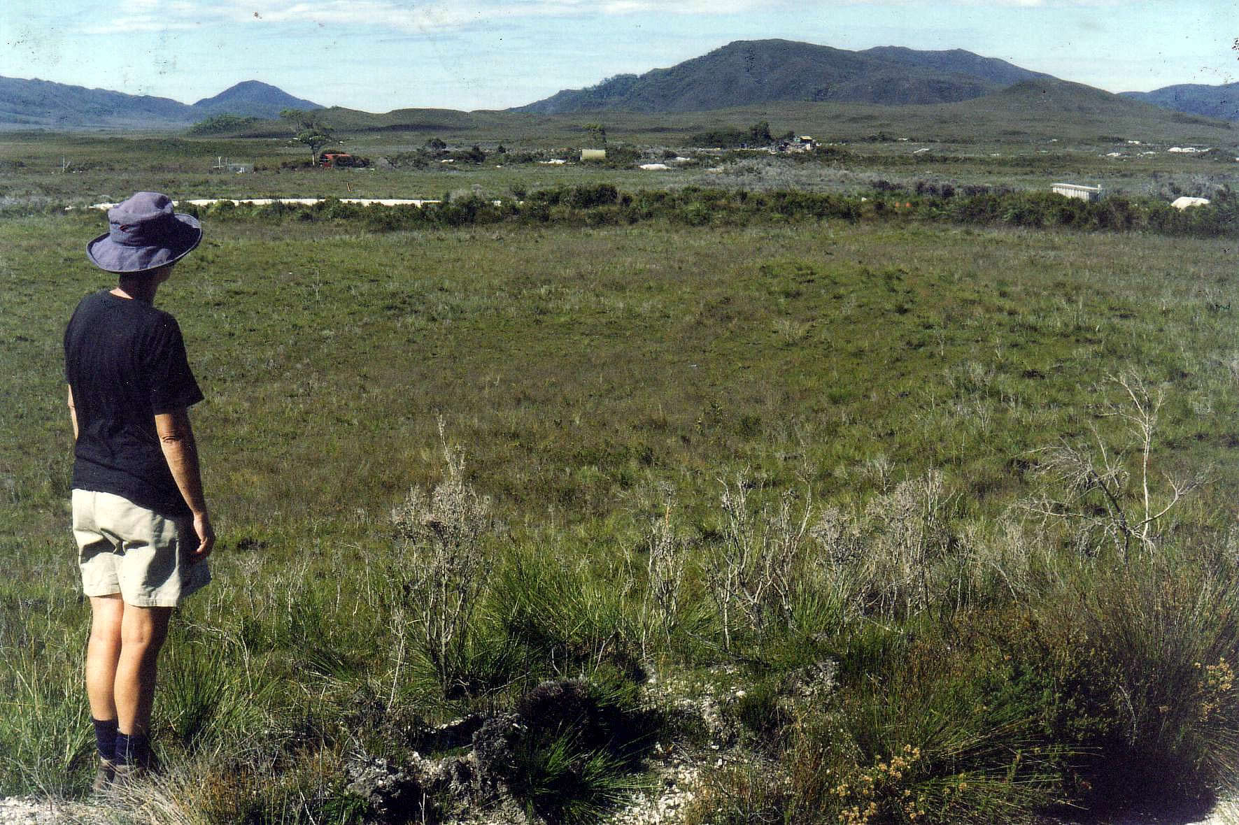
First view of Melaleuca
The day started with beach walking then 7 km of well-made but hard and stony footpaths and boardwalks with us at one point being entertained by a juvenile Orange bellied Parrot flapping and stumbling along the path ahead of us. The hard walking surface left us foot sore and weary by the time we arrived, but the good news was that our resupply box and fuel had been delivered and was safe in the airstrip shed. The bad news was that a sticker on the box announced: ”Gotts – Your property has been destroyed by a cyclone”.
This left us in a bit of a state, so we sat down at the airstrip to have a cup of tea and decide whether to
1. Carry on regardless with the next half of our walk out to south west cape and back.
2. Fly out on the next available seat.
3. Walk out to Scotts Peak.
While this discussion was happening a figure emerged from the scrub near the airstrip. He wandered over to us and let us know that a plane was due shortly to evacuate an ill crewman from his boat in the harbour. We told him our story and he told us that his boat had a satellite phone and could call our house sitters , and that they could do this immediately as he was in contact with them on his 2way radio. His boat was actually unable to hear him, but another boat in the harbour was able to relay the request and our home phone number. They were able to call the house sitters and get the news relayed back to us: ”Dogs and sitters all ok, no building damage, but the orchard is matchsticks”. Serendipity strikes and the needed information appears just when it is needed.
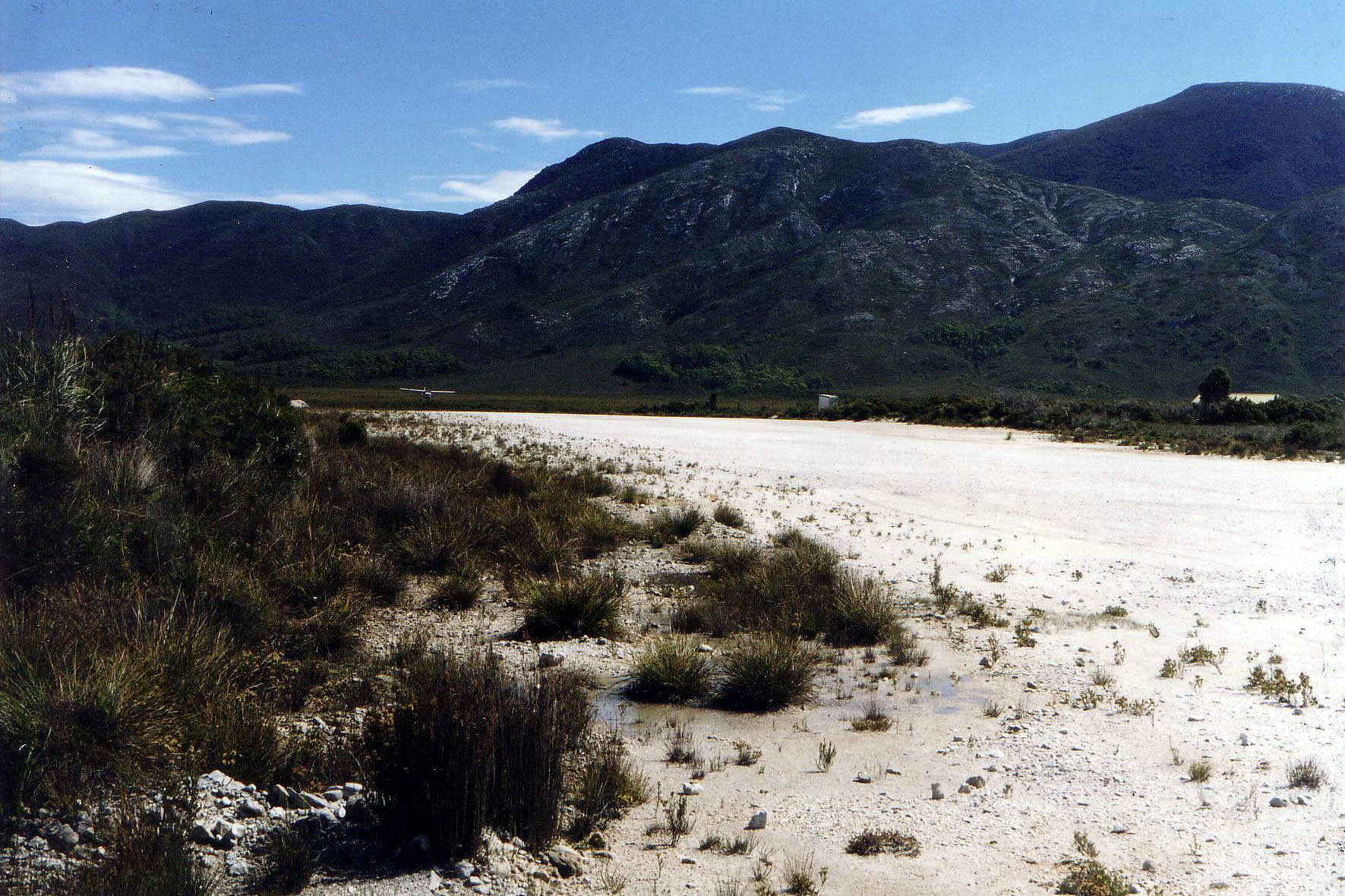
Melaleuca airstrip. There was a plane in there somewhere!
We decide that there is nothing to be done by going out and we may as well continue with an abbreviated trip of 5 days visiting the southern beaches then flying out a few days earlier than planned. We settle in to the older hut, which is empty, and laze away the afternoon with red wine and chocolate treats from the resupply box. The vacuum packed sausages failed to survive and stank out the box, but nothing was damaged by this and once they were gone everything else was ok. Mattresses on the beds gave us a great night’s sleep.
Day 13, Wednesday 10th Feb at Melaleuca
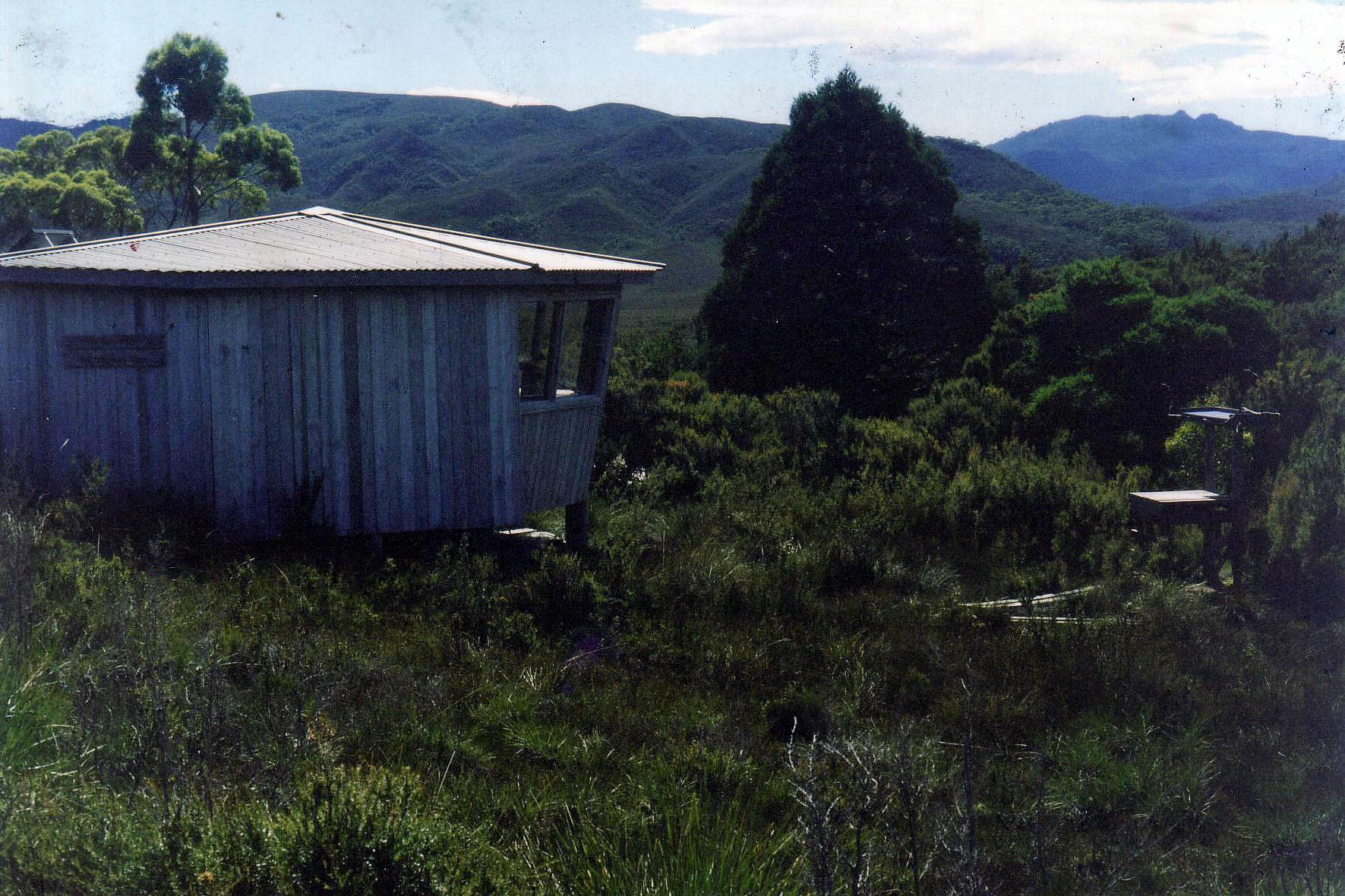
Melaleuca bird hide
Finally a rest day. Melaleuca has an excellent bird hide with spotting scope, feeding platform and cc tv for observing the orange bellied parrots and staffed by RAOU volunteers. We spend the rest of the day reading and eating.
Day 14, Thursday 11th Feb to New Harbour
An easy 4 hour day but walking in a warm drizzle, too wet to leave the parka off and too humid to keep it on, so we are sweating heavily inside the jackets. The campsite is in a beautiful location with a sheltered tent site looking straight out into the bay.
Day 15, Friday 12th Feb to Ketcham Bay
The day started with a steep 200 m climb on rough ground, but the weather cleared to a mild and sunny day so when we came back down to the beach at Hidden Bay we were able to have a swim with lunch. The morning climb and descent repeated itself after lunch but this time with a series of false summits and an undulating descent. Very frustrating but we were eventually able to camp on the western side of the bay in an exposed spot which helped minimize the mosquitoes and march flies.
Day 16, Saturday 13th Feb at Ketcham Bay
This was the day intended to be spent cavorting on the beach in the sand and surf but sadly the weather had shut down with low cloud and rain, so the day was spent in the tent reading. At least the mosquitoes have given up with the cold.

Sweaty and muddy, a natural state for this track.
Day 17, Sunday 14th Feb to New Harbour
We found a new track currently being cut by Parks staff, which led around the frustrating undulations, gently climbing through old growth forest, but unfinished in places so a bit of a scramble. Even in its unfinished state a much better walk than the old one. The leeches were a memorable part of the forest walking.

Day 18 Monday 15th Feb to Melaleuca
Very windy day, so no flights available.
Day 19 Tuesday 16th Feb to Hobart
There are finally some seats available in the afternoon, so we are able to get out to Hobart. We fly over PB in clear weather and are able to see how it absolutely dominates the landscape.

Precipitous Bluff
