Here is my story about my first bushwalk in Tassie’s South West, feeling a little intimidated by the isolation and recognising a lack of experience in taking on the walk in to and out of Federation Peak. The mountain had been first summited in 1949, after being seen and named in 1901, but even by 1967 there was little published information about access routes and few marked trails. Personal communication played a strong role in who went where, according to who you spoke to who had been in the area. Our route guide was a gestener print out passed around walking clubs, and such as it was, was as valuable as the talks and trip reports from other members of the club. Maps were courtesy of the Tas Hydro commission, but although these were useful for names of peaks and general layout, they had little track or route information. As published information became more available and experience and confidence grew, things changed and much more became accessible. But this is how it started.

Heading for the bus in Hobart.
Five of us while students in the Monash Uni Bushwalking Club took a taxi from Geeveston heading west to near the Picton River and a suspension bridge to start walking along the Yo-Yo track following the Huon river inland. It must have been one of the first sunny days as the Black Tiger snakes were out in force, I gave up counting after 30 encounters on the track on that afternoons walk until we reached our camp at Huon Opening, exhausted by the ups and downs and the monster packs for day one.

Crossing the Picton River
From there a ridge climbed steeply for 1200 m. heading south which gave us a route up to the summit of Mt Picton, after which we were walking on open ground along the crest of the Hartz range to Burgess Bluff before descending to the Cracroft River and Cutting Camp.

Mt Picton approaching
Much of this high altitude walking was on rocks or pineapple grass, which was very like walking on ankle deep snow, ankle twisting and tiring, but at least we were not fighting through thick scrub.

Clean shaven Digby on Mt Picton looking at Federation Peak.

Peter Zoller with Bobs Knobs and Precipitous Bluff on the south coast.
From Cutting Camp we were to climb again, scrambling up the notorious Moss Ridge to camp on Bechervaise Plateau with Federation Peak towering overhead. Moss Ridge certainly lived up to its reputation, with old wet forest on steep slopes. Fallen trees formed layer upon layer, so you were never sure if you were walking on ground, or thick mulch on logs, or simply balancing along a log generally going the same way. Many times we fell through, dropping at least to our waist to the real ground. The forest was dripping wet despite the hot day, so we were able to obtain enough water for drinking simply by squeezing the moss covering every rock and tree in a blanket 150mm or more thick.

Federation Peak from Moss Ridge.
We had an airdrop of supplies waiting for us at Bechervaise Plateau, but disaster had struck and the drum containing our treats of coco-pops and a bottle of red wine landed and smashed in the one creek running across the plateau. We had been dreaming about consuming those for days before, but the other 10 drums had all survived so we had our food for the next week.

Bechervaise Plateau with our tents in bottom left.
We had planned to climb Federation Peak by the climbing gully route, but after discovering a piton placed for protection, our un-roped attempt came to a quivering halt. We did not know about the direct ascent route from the southern traverse, which has now become the standard way up without ropes, despite its terrors.

The scree chute down which we were to go. Len Makin supervising.
From Bechervaise Plateau we scrambled down a scree chute by the northern face of Federation to Lake Gaston, and after several false starts which had us tangled in Horizontal Scrub, we eventually found the route to get back up to Thwaites Plateau on the Eastern Arthur range.
The trip had gone really well to this point, with sunshine and good visibility, and with us not getting too badly lost until we reached the Needles after Goon Moor.
Much of our route was unmarked with little to show as a footpath. In fact, if there was a good path you learned to be very suspicious as it was probably a false lead, being walked twice as much as the correct path. Our fine weather came to an end and a typical southwest gale set in with horizontal rain and thick grey murk everywhere. After several hours of this, we thought that we should be getting close to the Boiler Plates and the descent on Luckmans Lead. This was a critical location as there were no other options for getting down to the plains. We were all wet and cold and just starting to worry about where we were, when we came onto John Stuart’s tomb. Just like us; lost, wet and cold with no other options, but he had died of hypothermia in 1956 and been buried in place on the saddle named for him. A sobering and sad place, but it gave us our position and a direction to make for the descent route.
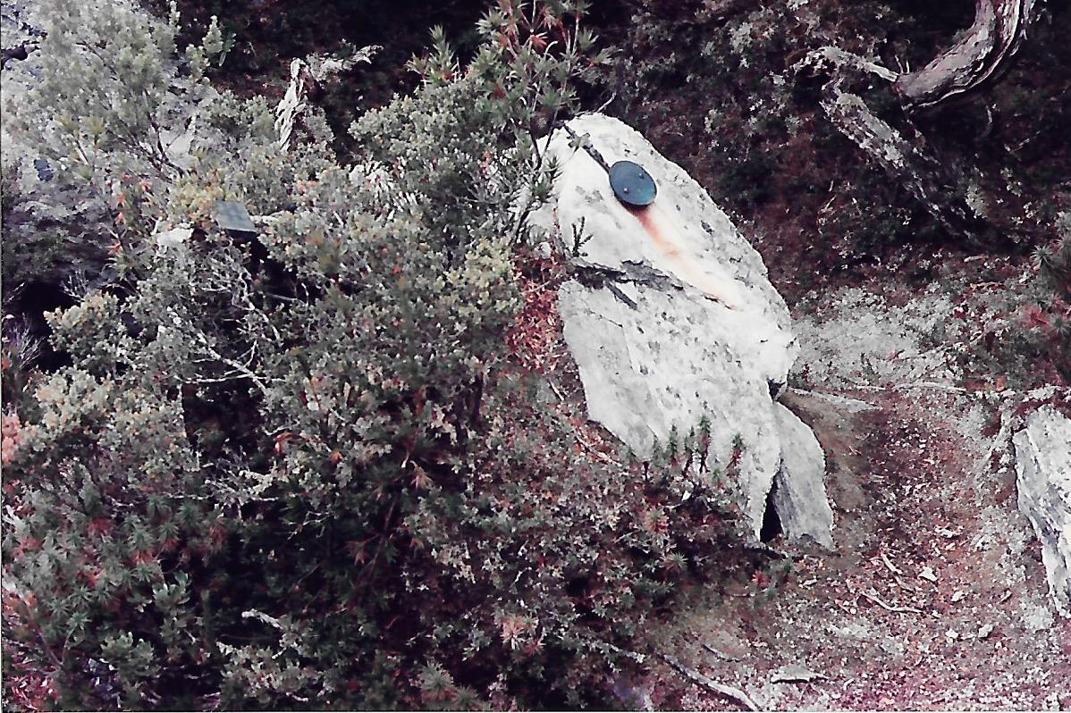
John Stuarts tomb RIP 1956
Down Luckmans Lead to Cracroft Crossing, then gentle but boggy walking west across the Arthur Plains, admiring the Western Arthurs range, promising to return to have a go one day, and so to Junction Creek and another airdrop.

Recovery time at 7 mile creek
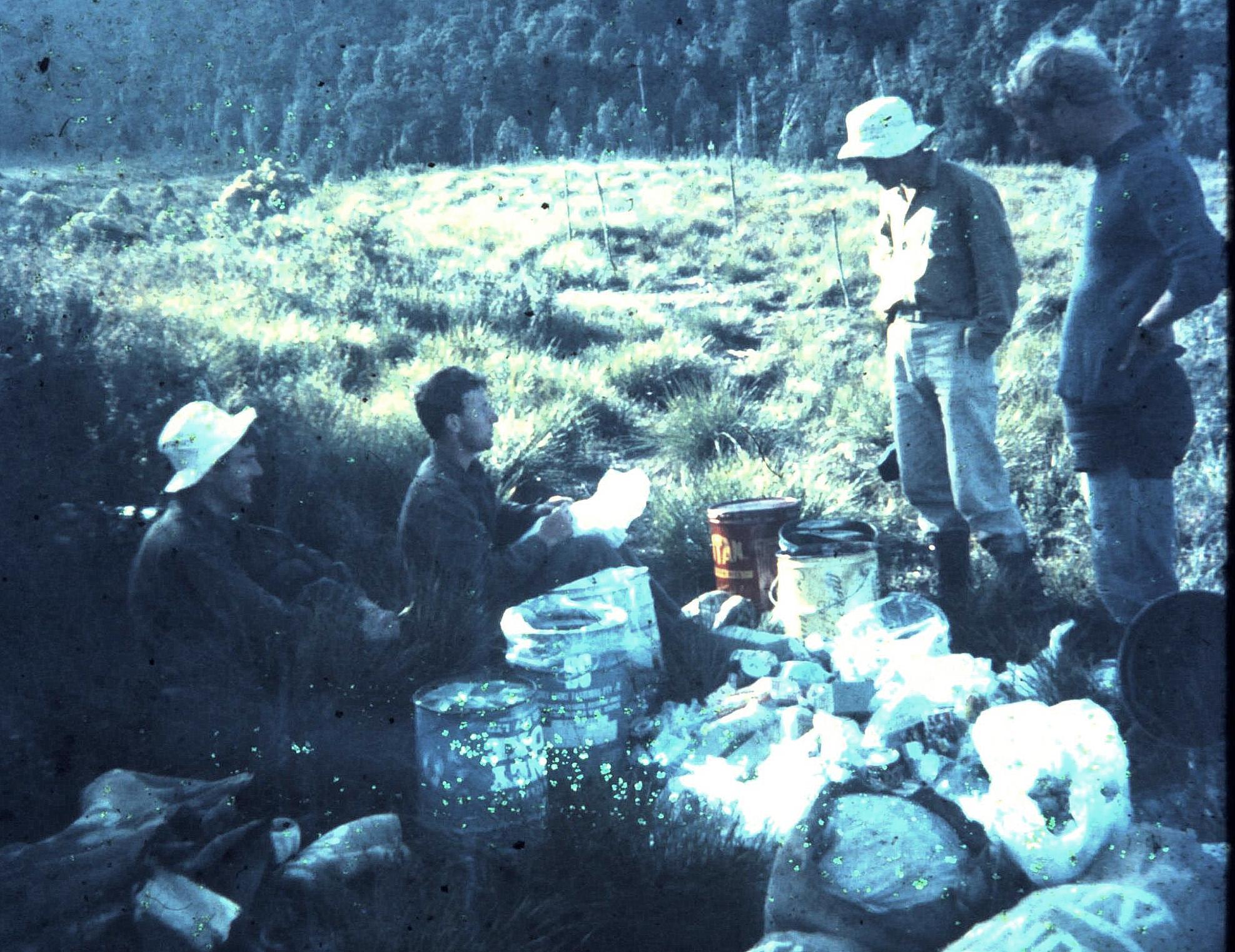
Airdrop resupply at Junction Creek with Len, Geoff, Peter and unknown blonde.
No problems with this one, all 13 drums in a line across the scrub where they had landed the month before. Our treat this time was a whole canned roast chicken, which we devoured down to the bones, only to be kept awake that night by the noise of several quolls quarreling and crunching on the remnants.
We continued along the Arthur Plains to camp for two nights by The Narrows in Bathurst Harbour.
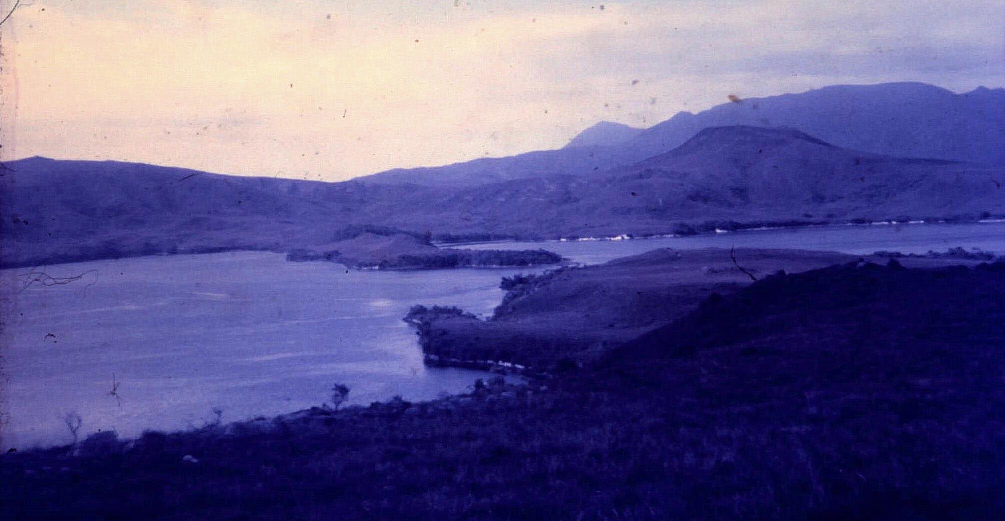
The Narrows
Two row boats are placed there to allow people to ferry themselves across the few hundred metres. That’s all very well if you can row a boat. None of us had that skill, but with much circling and being swept well off-route by the current racing through the gap, we eventually used the oars as paddles and made our way across. From there it was a few hours down to Melaleuca to say G’day to Denny King, admiring the tin mine which he was still working with a shovel and wheel barrow before wandering back to wrestle the rowboat again. A meal of mussels collected from the rocks made a delightful change from the dehydrated stews.

Creek crossing a bit demanding.
Then it was back to Junction Creek and north to the old Lake Pedder with its hut on the eastern side for the last nights of the trip.
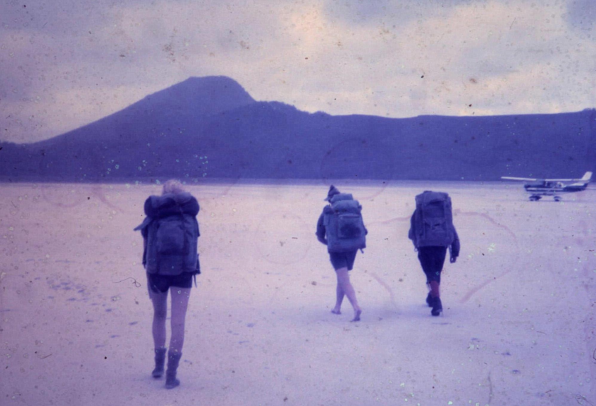
That magnificent beach/landing strip at the old Lake Pedder.
The Lake Pedder hut was pretty rough and smelly, but with a timber floor, several bunks and a fireplace at one end. Two of our party opted to stay in their tent around the back of the hut while I set up in the hut with the others and cooked dinner.
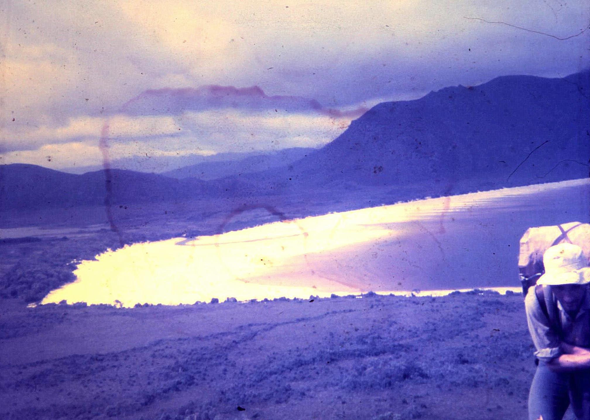
Lake Pedder as we climbed the final ridge to get out to the road.
Two wombats made their presence known, running around scratching and sniffing nearby, offended at their space being invaded. Being an enthusiastic second year zoologist I decided to sit outside and watch their behaviour while the others went to bed. I sat under a tree while the two animals ran in circles at high speed through the clearing in front of me. Eventually the chasee decided to try something different and took off down the track past the shelter, with the chaser in hot pursuit. I guess they didn’t know about the light nylon tent strung up across the path. They certainly didn’t stop for it, but ran it down, trampling my two friends into the ground as they went. The subsequent screams and curses in equal measure suggested that those two chemistry majors were not as excited by the local wildlife as I was.
From there it was still a couple of days walk out to the Maydena road, where we had no drama hitching out to milkshakes and pies at the Maydena café.
